:focal(800x602:801x603)/https://tf-cmsv2-smithsonianmag-media.s3.amazonaws.com/filer_public/c2/b6/c2b6f1f7-db85-4dc0-9c93-686e87a16fc0/gettyimages-515097796_web.jpg)
/https://tf-cmsv2-smithsonianmag-media.s3.amazonaws.com/accounts/headshot/christian.png)
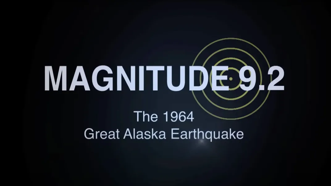
On March 27, 1964, the largest earthquake in U.S. history struck Alaska. With a magnitude of 9.2, it was the second-most-powerful quake ever recorded on Earth. In Anchorage, streets split in half and an entire neighborhood slid into the sea. Along the Alaskan coast, massive tsunamis destroyed ports and washed entire villages away. The disaster caused $3 billion in damage, when adjusted for inflation, and permanently changed the people and landscape of Alaska, which had gained statehood just five years before. Businesses left. Entire communities had to relocate and rebuild.
But perhaps the Great Alaska Earthquake’s most significant and lasting impact was on science. It struck at a key moment in scientific history, right in time to reshape our understanding of earthquakes, tsunamis and the nature of very ground beneath our feet. Even today, scientists studying the quake’s impacts are making unexpected discoveries in surprisingly disparate fields. A look back at the quake, 60 years after it happened, reveals just how much it transformed our understanding of geology and geophysics.
The earthquake drove plate tectonics into the mainstream
In the disaster’s immediate aftermath, the U.S. Geological Survey flew field geologists to Alaska to investigate the quake’s origins. Over weeks and months, those scientists carefully measured the impact on the landscape, discovering vast expanses of Alaska had experienced massive uplift and subsidence, permanently rising up or dropping down as the ground shook and buckled. A section of coastline they measured near Kodiak had risen by roughly 30 feet. Some 185 miles to the northeast, near Anchorage, the land had dropped by about ten feet. Those detailed measurements provided the first real-world evidence for plate tectonics, a theory that was then vigorously debated. That theory holds that the Earth’s crust is made up of plates floating on the hot mantle, and where those plates converge, sliding over or under each other, major earthquakes strike that can warp and reshape the landscape. Before the 1964 earthquake, scientists lacked the data needed to prove the existence of subduction zones—areas like that off the Alaskan coast where the Pacific oceanic plate subducts, or slides under, the North American continental plate. After the Alaskan quake, they had it: carefully documented, irrefutable evidence visible across tens of thousands of square miles of forest, coast and village that the crust had shifted in a way that couldn’t be explained by anything other than plate convergence. An even larger earthquake, magnitude 9.5, had shaken Chile four years earlier, but its aftermath had not been studied as meticulously.
“So, the ’64 earthquake and the 1960 earthquake in Chile really got geologists to puzzle,” says Diane Doser, a retired earthquake seismologist who worked at the University of Texas at El Paso and studied the Alaska quake extensively. “The way geology worked at this point in time wasn’t sufficient to explain what had been observed. But these newfangled ideas about plate tectonics explained some of what they saw during these earthquakes.”
Using the ideas of plate tectonics and the uplift and subsidence data, geologists worked backward, correctly determining the two plates had slipped by as much as 60 feet along the subduction zone, causing the quake. At the same time, scientists worldwide were rapidly making other advancements in geophysics that helped them understand how the Earth moved. Researchers were building out a global network of seismographs, which measure ground motion, to monitor nuclear weapons testing. The instruments had the side benefit of collecting data on earthquakes, too. Researchers were also developing techniques to date the same types of rock found on different continents, and demonstrate they had split up and moved great distances atop the tectonic plates over millions of years.
“All this came together in a kind of smoking gun way that it’s subduction, this is a real thing,” says Michael West, Alaska’s state seismologist. Since ’64, subduction zones have been discovered in places like Indonesia, Japan and Chile, where major earthquakes later occurred. “I think it’s fair to say that in the 1964 earthquake was an important piece of transitioning the theory of plate tectonics to the fact of plate tectonics.”
Digging into the dirt revealed a history of quakes
While field geologists mapped uplift and subsidence patterns across Alaska, they discovered something else. Coastal forests in areas that had experienced sudden subsidence, dropping below sea level during the quake, were now inundated with seawater and ocean sediment. When the field scientists dug deep into the mud in those forests, they discovered alternating layers of buried plants and ocean sediment. The variation was proof that the same areas that subsided in 1964 had done so many times before during major earthquakes over thousands of years. Forests grew. Earthquakes occurred, and the forests were drowned and covered with ocean sediment. And forests grew again.
“These places have gone from underwater, to above water, to underwater over the course of hundreds and thousands of years with each earthquake,” says West. “I think of it almost a little bit like the tide coming in and out on a beach. Except it’s the beach itself moving up and down.”
By drilling deep sediment cores in these ghost forests and using new techniques to date the layers of organic material within, scientists were able to discover past earthquakes going back millennia. The field of paleoseismology was born. And when those same scientists repeated their methods further south in the Pacific Northwest, they discovered that the Cascadia subduction zone off the U.S. West Coast had caused similar massive earthquakes in the past—and that the region should expect its own “Big One.”
“The reason that historical record matters is that’s how we figure out the statistics of earthquakes in the future,” says West. “And even if geologic history doesn’t interest you, what you really do care about is: How often should we expect an earthquake like that?”
Paleoseismology, pioneered in Alaska, forms the basis for the U.S. Geological Survey’s National Seismic Hazard Maps, which include probability estimates for earthquakes across the country. Governments and companies rely on those maps to figure out where it’s safe to build, what types of structures to construct and what insurance rates should be.
Studying surprise tsunamis led to an underwater discovery
Tsunamis claimed the vast majority of the Great Alaska Earthquake’s approximately 130 victims. Scientists generally understood tsunamis in 1964—when a massive earthquake strikes offshore, motion at the seafloor displaces the seawater above, pushing it up and out toward land. Typically, those tectonic tsunamis strike within tens of minutes or hours after the earthquake, depending on how far they have to travel.
But in 1964, massive tsunamis swept through communities before the ground even stopped shaking. Only after decades of research—and new techniques like computer modeling and detailed seafloor mapping using high-precision sonar systems—could scientists explain why. Alaska’s coastline is shaped by glaciers, which carve out fjords and drain silt into the sea. Given a large enough earthquake, as in 1964, that buildup of thousands of years’ worth of silt can shake loose. The resulting underwater landslides send “local” tsunamis racing through the narrow fjords with little to no warning.
/https://tf-cmsv2-smithsonianmag-media.s3.amazonaws.com/filer_public/18/fa/18fafbaf-44c7-44d4-a3b5-b59e2f8b9ec0/boatstsunami_web.jpg)
Mapping hazardous areas and modeling potential landslide tsunami impacts is still an area of ongoing research, West says, but the seeds for today’s tsunami research and modeling efforts were planted by the Alaska disaster. In the aftermath, the National Oceanic and Atmospheric Administration opened the National Tsunami Warning Center in Alaska to monitor tsunami hazards. “I think it’s fair to say the 1964 earthquake put landslide tsunamis on the map,” he says.
Decades after the quake, and because of it, a mysterious fungus spread
The Great Alaska Earthquake is still helping solve scientific mysteries today. In 1999, a microscopic fungus called Cryptococcus gattii that typically grows on rotting wood in tropical rainforests suddenly appeared in coastal forests across the Pacific Northwest. Since it can cause fatal infections in humans, the U.S. Centers for Disease Control and Prevention contacted Dave Engelthaler, director of the pathogen and microbiome division of the Translational Genomics Research Institute in Arizona, to track its origins.
Sequencing and dating the fungus, Engelthaler found it had come to the Pacific Northwest from the port city of Recife, Brazil, about a century before. He tracked shipping records and determined it had likely hitched a ride up to Vancouver in cargo ship ballast water just after the Panama Canal opened. The fungus, which adapts well to life in seawater, had been dumped off the Pacific Northwest coast, where it lived quietly and harmlessly for decades. But how it got onto land and contaminated the entire coastline, seemingly all at once, remained a mystery, until Engelthaler realized there was only one event in recent U.S. history that could have moved so much seawater—the tsunamis caused by the Great Alaska Earthquake. After being driven onshore, the fungus adapted to life on land again.
“These are what we call ‘black swan events,’” says Engelthaler, referencing epidemiology’s term for statistically improbable events with serious consequences. “No one could predict this massive earthquake would lead to people getting sick 40, 50, 60 years later from a fungus that doesn't even belong in the area.”
To Arturo Casadevall, a microbiologist at the Johns Hopkins School of Public Health who researched the Cryptococcus gattii case with Engelthaler, the situation is good reminder to think on multiple timescales, studying past events and considering how they could affect our future. “I’m a big fan of humanity,” he says, “But we tend to get focused on the short term.”
In Alaska, disaster amnesia is a growing problem, says West, the state seismologist. In March, on the 60th anniversary of the Great Alaska Earthquake, the National Oceanic and Atmospheric Administration announced it planned to eliminate the National Tsunami Hazard Mitigation Program, which provides Alaska up to $700,000 per year for tsunami sirens, public education and inundation mapping research work. The generation that remembers the 1964 quake is disappearing, he notes, and that could have consequences, because such an event could happen again. “I’m not exaggerating: We could have an earthquake in southern Alaska that sets us up a tsunami and kills a thousand people in, pick your town, that’s fully doable tomorrow,” he says. “So, there’s got to be a few people out there going, ‘Hey, don’t forget about this.’ That’s my job, to make sure that we don’t forget.”
/https://tf-cmsv2-smithsonianmag-media.s3.amazonaws.com/accounts/headshot/christian.png)