Hotspots of Deforestation Revealed in New Maps
New maps of global forest loss find that while Brazil is decreasing its rate of deforestation, many other nations are rapidly losing forest cover
/https://tf-cmsv2-smithsonianmag-media.s3.amazonaws.com/accounts/headshot/Sarah-Zielinski-240.jpg)
/https://tf-cmsv2-smithsonianmag-media.s3.amazonaws.com/filer/20131114011218deforestationBrazil_big_470x251_scaled_cropp.jpg)
When it comes to deforestation, Brazil’s Amazon often tops the list of places to worry about. New maps of global forest loss, however, find plenty of other sites throughout the world that should be of even bigger concern. Angola, Zambia, Bolivia, Paraguay and Malaysia all have high rates of forest loss, but the situation is perhaps worst in Indonesia, where the rate of deforestation may soon exceed that in Brazil.
On a global scale, the planet lost 888,000 square miles of forest and gained 309,000 square miles of new forest between 2000 and 2012, a team of researchers led by remote sensing scientist Matthew Hansen of the University of Maryland College Park report today in Science. That’s a net forest loss equivalent to all the land in Alaska.
“Losses or gains in forest cover shape many important aspects of an ecosystem including climate regulation, carbon storage, biodiversity and water supplies, but until now there has not been a way to get detailed, accurate, satellite-based and readily available data on forest cover change from local to global scales,” Hansen said in a statement.
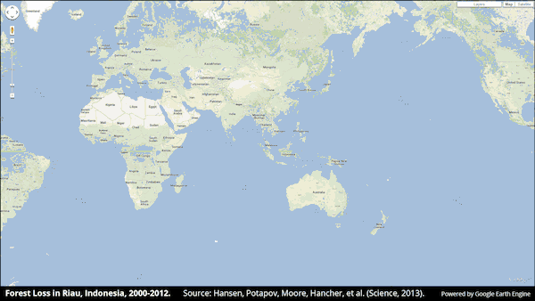
Hansen’s team began with a collection of more than 650,000 images taken by the Landsat 7 Earth-imaging satellite from 1999 to 2012 and housed in the Google Earth Engine, a cloud-computing platform that was created for just this kind of thing—planetary analyses of environmental characteristics, accomplished at amazing speeds. They tasked the engine to monitor vegetation taller than 16 feet (5 meters) across the globe as it appeared and disappeared through time. The result was a set of highly detailed maps showing forest extent, loss, gain and net change at a resolution of a mere 98 feet (30 meters).
The maps reveal a variety of stories taking place around the world. Tropical forests accounted for nearly a third of global deforestation, as humans stripped forest lands, both legally and illegally. Deforestation in those regions is a particular concern–tropical forests are home to many unique species that can be endangered or lost entirely when their forest homes are destroyed. What’s more, depending on the scale and patchiness of the tree loss, rainfall can either intensify or decrease, either of which can have devastating consequences, such as flood or drought. And the lost vegetation can no longer be a sink for atmospheric carbon–the carbon stays in the atmosphere and intensifies climate change.
The rate of deforestation recorded by the study varied from nation to nation. Indonesia witnessed a doubling of forest loss in just a decade. In Brazil, by contrast, deforestation slowed from a pace of more than 15,400 square miles per year in 2003 and 2004 to a rate less than half that in 2010 and 2011, confirming that efforts in that country to reduce forest loss, including the combating of illegal logging, are seeing success. Despite the decline, however, Brazil still suffers a lot of tree loss—the second highest total globally. And when combined with deforestation going on in other nations on that continent, such as Argentina, Bolivia and Paraguay, about half of tropical forest loss occurred in South America, Hansen’s team calculated.
Another way to look at the scope of tropical deforestation is to calculate loss as a percentage of a nation’s total land area. In that ranking, Brazil doesn’t look too bad since it’s a country with a large land area. Malaysia, Cambodia, Cote d’Ivoire, Tanzania, Argentina and Paraguay experienced a much greater loss of forest as a share of all their land.
Determining the extent of forest loss can be helpful for reducing it in the future, the researchers note. “Brazil’s use of Landsat data in documenting trends in deforestation was crucial to its policy formulation and implementation,” they write in their paper. “The maps and statistics we present can be used as an initial reference point for a number of countries lacking such data.”
The maps also reveal the small and large stories of forest growth and loss taking place in other regions around the world, highlighting places such as the American Southeast, where large portions of forest are lost and regrown in short periods of time; the region is a much bigger player in the timber industry than the more famous Northwest U.S. In Alaska, Canada and Russia—home to the world’s greatest extent of forest loss (loss per national area) simply due to that nation’s size—one can see how slowly these high-latitude forests recover from events such as wildfires. The maps even allow the detection of smaller events—such as the mountain pine bark beetle infestation in British Columbia and even a powerful windstorm that leveled forests in southwestern France.
“With our global mapping of forest changes every nation has access to this kind of information, for their own country and the rest of the world,” Hansen said. Whether they follow Brazil’s footsteps and use the data to work towards conserving these important ecosystems will be a question for the future.
/https://tf-cmsv2-smithsonianmag-media.s3.amazonaws.com/accounts/headshot/Sarah-Zielinski-240.jpg)